Best Rucking Trails in Littleton, CO
Welcome back to RuckingTime! Located just south of Denver, Littleton is a fantastic place to get outside and train. This city offers an amazing mix of everything: flat river paths, giant reservoirs, and steep dirt trails that climb right into the foothills.
Whether you want to crush a flat 10-mile walk or push your legs on a rocky mountain climb, Littleton has a path for you. Here is our guide to the 7 Best Rucking Trails in Littleton, CO.

Benefits of Rucking in Littleton
Littleton is a rucker’s paradise because it gives you so many choices. If you want a soft dirt path to protect your knees, you will find it here. If you want a brutal hill climb to build leg strength, the foothills are just minutes away. The city sits at about 5,300 feet above sea level, so the thin air gives your lungs a great workout. Plus, the views of the red rocks and local lakes are incredible.
Disadvantages of Rucking in Littleton
Because the trails here are so good, they get very crowded. On the weekends, places like Chatfield State Park and Waterton Canyon are packed with bikers, runners, and families. You will have to step out of the way often. Also, the foothills trails are home to rattlesnakes in the summer, and many of the open prairie paths have zero shade.
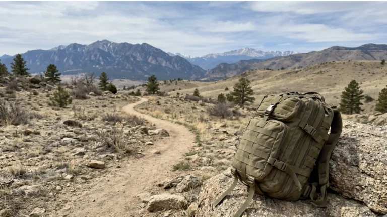
Top 7 Rucking Routes in Littleton
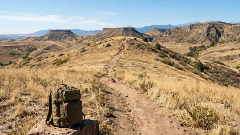
1. Waterton Canyon Trail (Best for Steady Climbs and Wildlife)
- Difficulty: Easy to Moderate
- Elevation Gain: ~700 feet
- Distance: Up to 12.4 miles round trip
This is one of the most famous rucking and hiking spots in the area. The trail is a wide dirt road that follows the South Platte River all the way up to a huge dam. It has a very slow, steady incline that gives your legs a great burn. Keep your head up, because you will almost always see big horn sheep standing on the cliffs!
2. Mary Carter Greenway Trail (Best for Flat Distance)
- Difficulty: Easy
- Elevation Gain: Mostly flat
- Distance: Up to 8 miles one way
This trail follows the South Platte River right through the middle of the city. It has a paved path and a soft gravel path running side-by-side. The soft gravel is perfect for carrying a heavy backpack. It is mostly flat, making it a great place to lock in a fast walking pace and rack up high mileage.
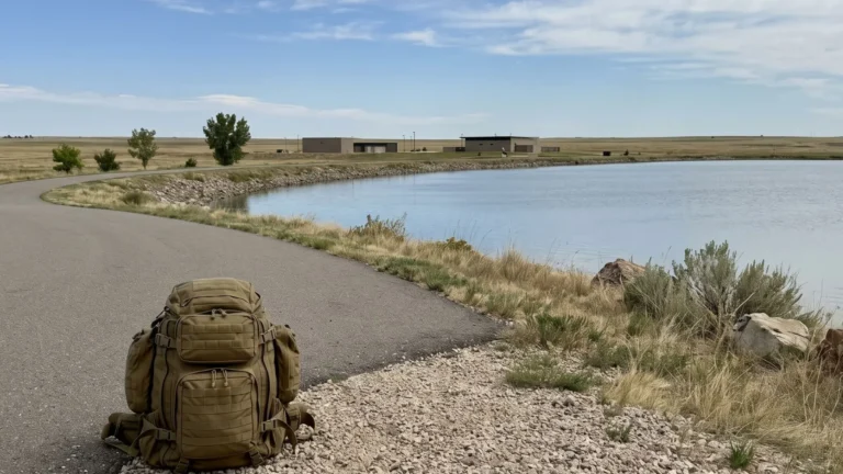
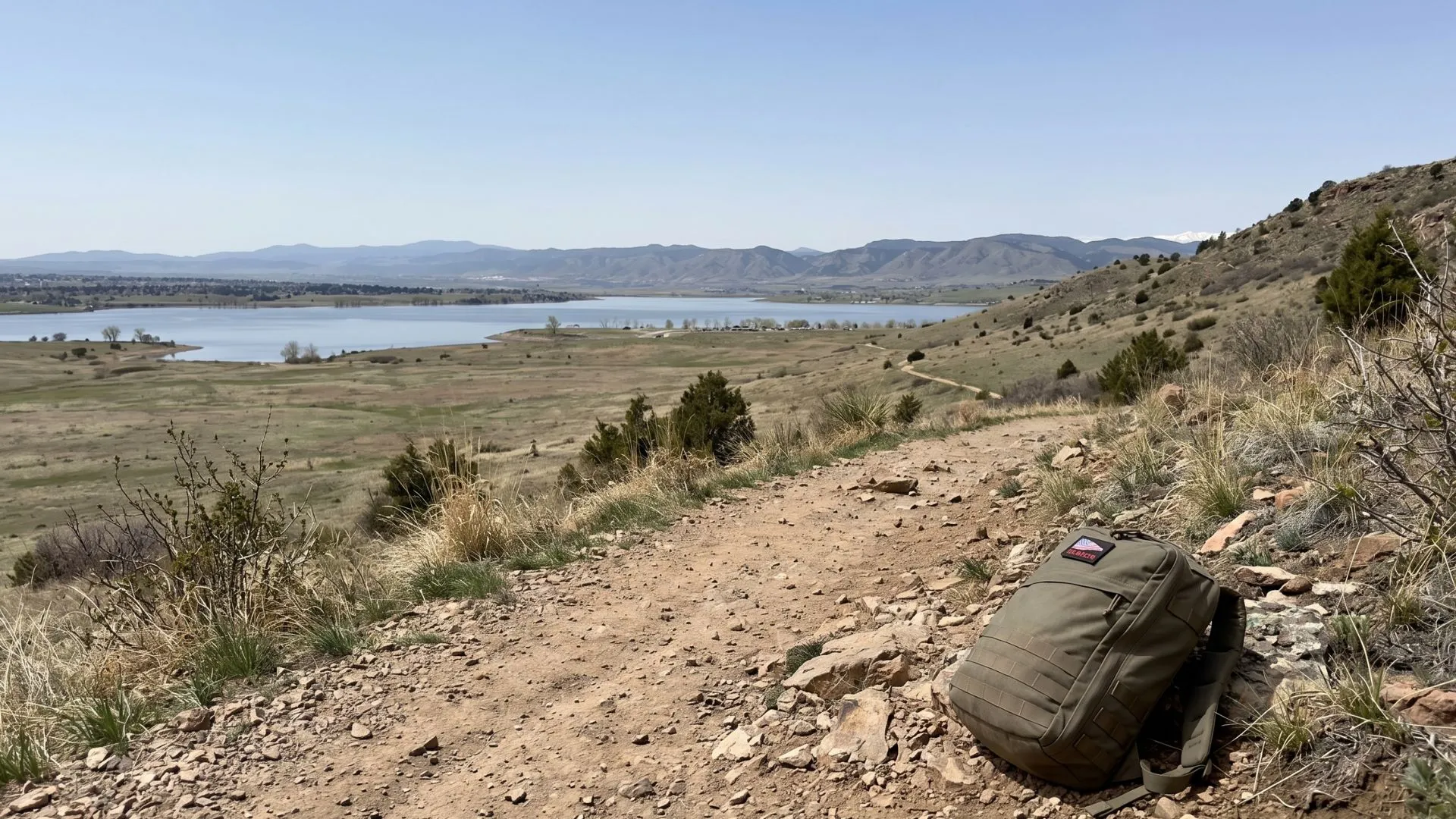
3. Chatfield State Park Loop (Best for Lake Views)
- Difficulty: Easy
- Elevation Gain: Low
- Distance: ~10-mile loop
Chatfield is a massive park built around a huge lake. You can walk the full 10-mile paved loop around the water, or jump onto the many dirt paths inside the park. It is wide open and mostly flat, giving you great views of the water and the mountains in the background.
4. Fountain Valley Trail at Roxborough State Park (Best for Red Rocks)
- Difficulty: Easy
- Elevation Gain: ~200 feet
- Distance: 2.3-mile loop
If you want amazing scenery without a brutal mountain climb, this is the spot. Roxborough is known for its giant, sharp red rock formations. The Fountain Valley Trail is a rolling dirt path that takes you right through the middle of the rocks. It is a beautiful, peaceful place to carry a light or medium-weight pack.
5. Coyote Song Trail at South Valley Park (Best for Short Dirt Loops)
- Difficulty: Easy to Moderate
- Elevation Gain: ~300 feet
- Distance: 3 miles
Just north of Roxborough, South Valley Park offers a great 3-mile dirt loop. The path rolls up and down through a valley surrounded by huge red sandstone rocks. The dirt is soft, the hills are not too steep, and it is a perfect spot for a quick, heavy workout after work.
6. Hildebrand Ranch Park (Best for Open Prairie)
- Difficulty: Moderate
- Elevation Gain: ~400 feet
- Distance: 4-mile loop (Two Brands Trail)
This trail takes you through tall grass and open prairie fields before rolling into the lower foothills. The dirt path has some steady hills that will make your heart beat fast. There are zero trees out here, so the sun will be hot. Make sure you wear a hat and bring extra water.
7. Deer Creek Canyon Park (Best for Hard Foothill Climbs)
- Difficulty: Hard
- Elevation Gain: Over 1,000 feet
- Distance: Varies (Plymouth Creek Trail is a steep 6-mile loop)
If you want to test your limits, head to Deer Creek Canyon. The dirt paths here are rocky and climb very steeply into the mountains. Walking up these trails with a heavy backpack will set your leg muscles on fire and build massive strength. This is for advanced ruckers who want a tough challenge.
Summary
Littleton offers some of the best training grounds in the state. You can build your endurance on the flat gravel of the Mary Carter Greenway, or test your leg strength on the steep dirt trails at Deer Creek Canyon. The Best Rucking Trails in Littleton, CO offer amazing scenery, from deep river canyons to giant red rocks. Load up your heavy backpack, drink plenty of water, and hit the trails today!